Staff
Matt Ross | Faculty Director
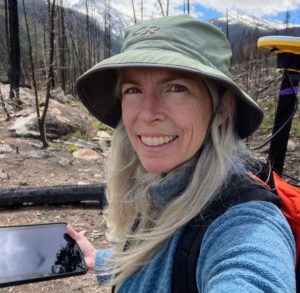
Dr. Matt Ross is an ecosystem scientist with a focus on water quality. He uses a range of approaches from remote sensing to intensive field sampling to explore how people control and change the environment and how altered landscapes impact the streams and rivers that drain them.
As Faculty Director of the Geospatial Centroid, Matt is committed to open‐source technology and data democratization. He is an
active R developer and has produced numerous R Shiny applications for visualization of spatial data. He has published works in water quality, the environmental impacts of mountain top mining, and the use and application of participatory data collection efforts.
Matt teaches Land Use and Water Quality, and Data Issues in Hydrology. Learn more about his research at rossyndicate.com
Sophia Linn | Head
Sophia is Head of the Geospatial Centroid and oversees its daily operations, general management, and internship program. She has been involved with geography and GIS education efforts for over 30 years at the local, regional, state, and national levels, and has been instrumental in developing the Centroid since its inception. She enjoys supporting and encouraging others to use a geographic perspective and spatial technologies to explore issues holistically and has contributed to well over 100 projects for on- and off-campus clients of the Centroid.
Caitlin Mothes | Lead Geospatial Data Scientist
Dr. Caitlin Mothes is a Research Scientist with the Geospatial Centroid with expertise in managing, analyzing and visualizing data, specifically spatial data. Her work involves developing reproducible analytical and reporting workflows, creating data visualizations and building interactive web applications for a broad range of research topics. She also develops educational materials to increase access to geospatial data science methods and technologies. Caitlin received her PhD from the University of Miami, developing and applying spatial tools for biodiversity conservation efforts and policies. Learn more at https://caitlinmothes.com/.
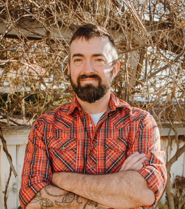
Dan Carver | Geospatial Technical Manager
Dan Carver is a spatial scientist and educator working and living in Northern Colorado. His active projects center around the conservation of agriculturally-relevant biodiversity, reproducible reporting, and how best to convert information to understanding on a personal level. He enjoys running, cooking, and many of the other complexities of life on our planet.
Elizabeth Tulanowski | Education Coordinator
Elizabeth is a GIS educator and enthusiast, teaches GIS in the Department of Ecosystem Science and Sustainability, and serves as the Centroid’s Education Coordinator.
She got her start in GIS in 1997 working on the New York State GAP Analysis Project, a summer research job that led to a lifelong career. She has a B.S. in Natural Resources and an M.S. in GIS from Cornell University. Elizabeth worked for 8 years as a GIS instructor for Esri, taught GIS for 6 years at Front Range Community College and now enjoys being a GIS Instructor at CSU. She specializes in Spatial Analysis/spatial problem solving, Python scripting, mobile data collection, and the ArcGIS Desktop suite. When she’s not working with maps, Elizabeth enjoys time in the great outdoors with her husband, kids, and Samoyed dogs.
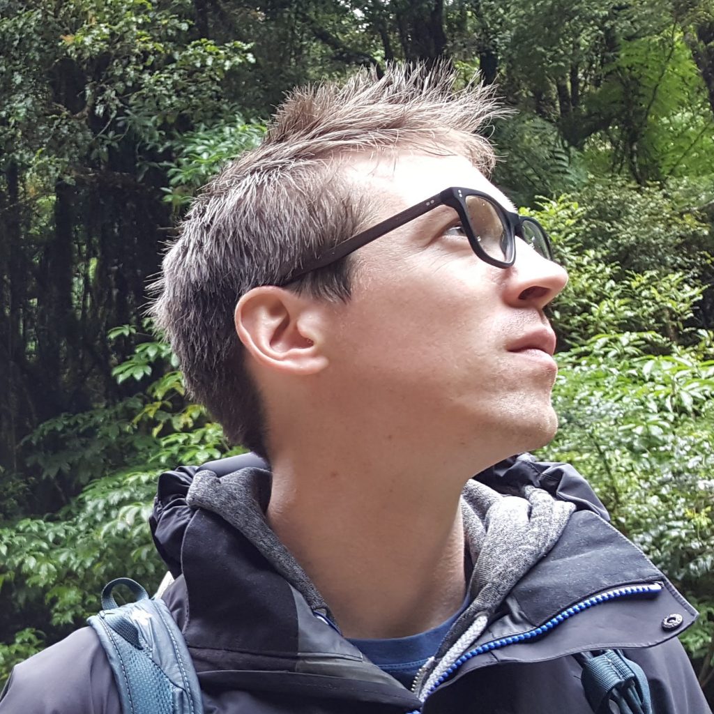
Josh Reyling | Geospatial Help Desk Lead
Josh has a Professional Science Masters from CSU. He completed his undergraduate in Geography with an emphasis in GIS at UNC (Greeley, not Chapel Hill). Professionally, Josh has spent over a decade working with diverse clients – from small municipalities to the Department of Defense – troubleshooting/ streamlining processes and designing project workflows. He gets a great sense of calm and well-being from organized data structures and elegant answers to problems. Outside of school, he can be found on a calm river, in a canoe.
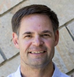
Kevin Worthington | Maps and GIS Data Specialist
Kevin Worthington is the Maps and GIS Data Specialist at the Centroid. He works in collaboration with CSU Libraries to support managing, storing, indexing, and sharing archival geospatial data. He has wide and varied experience in data science/analysis, programming, database management and web development.
Kevin earned a Master’s degree in Environmental Applied Science and Management from Ryerson University in Toronto, Canada. His Master’s thesis involved developing a web-based application for managing, visualizing, and analyzing mobile air quality measurements collected by citizen scientists as they bicycled around the city of Hamilton Ontario.
His interests include mountain biking, rock climbing and hiking.
Greg Newman | Web Mapping/Citizen Science Specialist
Greg provides support for web mapping and citizen science related projects at the Geospatial Centroid. He is also a research scientist at the Natural Resource Ecology Laboratory (NREL) at CSU and is the co-founder and director of CitSci.org – a global citizen science support platform supporting over 870 projects and curating over 1 million spatial measurements made by volunteers. He received his PhD from CSU in citizen science, community-based monitoring, and ecological informatics. His research focuses on designing and evaluating cyber-infrastructure systems for citizen science, understanding the socio-ecological outcomes of engaging the public in science, assessing the value of local and traditional ecological knowledge, and developing spatial-temporal decision support systems. Greg strives to create innovative ecological data management and visualization solutions (and maps!) to help communities solve place-based environmental challenges. He loves trail running, mountaineering, telemark skiing, backpacking, and spending time with his family.
Melinda Laituri | Founding Director (retired, December 2020)
Dr. Melinda Laituri is a professor of geography in the Department of Ecosystem Science and Sustainability at Colorado State University. She is a Fulbright Scholar having taught GIS at the University of Botswana and conducted research in the Center for Scientific Research, Indigenous Knowledge, and Innovation on participatory mapping and conservation planning. Professor Laituri is a Rachel Carson Fellow for Environment and Society at the Ludwig Maximillian University, Munich, and a founding member of CSU’s Center for Environmental Justice. She is also a Jefferson Science Fellow where she was the principal investigator on the Secondary Cities Initiative, part of the State Department’s Office of the Geographer’s Humanitarian Information Unit mapping rapidly growing, under-examined cities. She received her PhD in Geography from the University of Arizona.
Get in touch with the Geospatial Centroid.
Contact us for project support, Geospatial Help Desk assistance, training opportunities, internships or other ways to get more involved with the Centroid.
Email: gis@colostate.edu
Phone: 970.491.2774
Listserv: Sign up for GEOSPATIAL listserv